A few years ago, when I was missing designing things, I got it in my head that I should learn some simple woodworking skills so I could build some furniture. In the time since (and with a few classes at
Philadelphia Woodworks) I've designed several of the pieces in our apartment. Almost everything I make starts from reclaimed wood that I picked up at
Sawkil (when we lived in Brooklyn) or
Provenance or
Manayunk Timber (in Philly) and mill. That way, each piece tells a story with a longer history, and of course none of these stories will end with us.
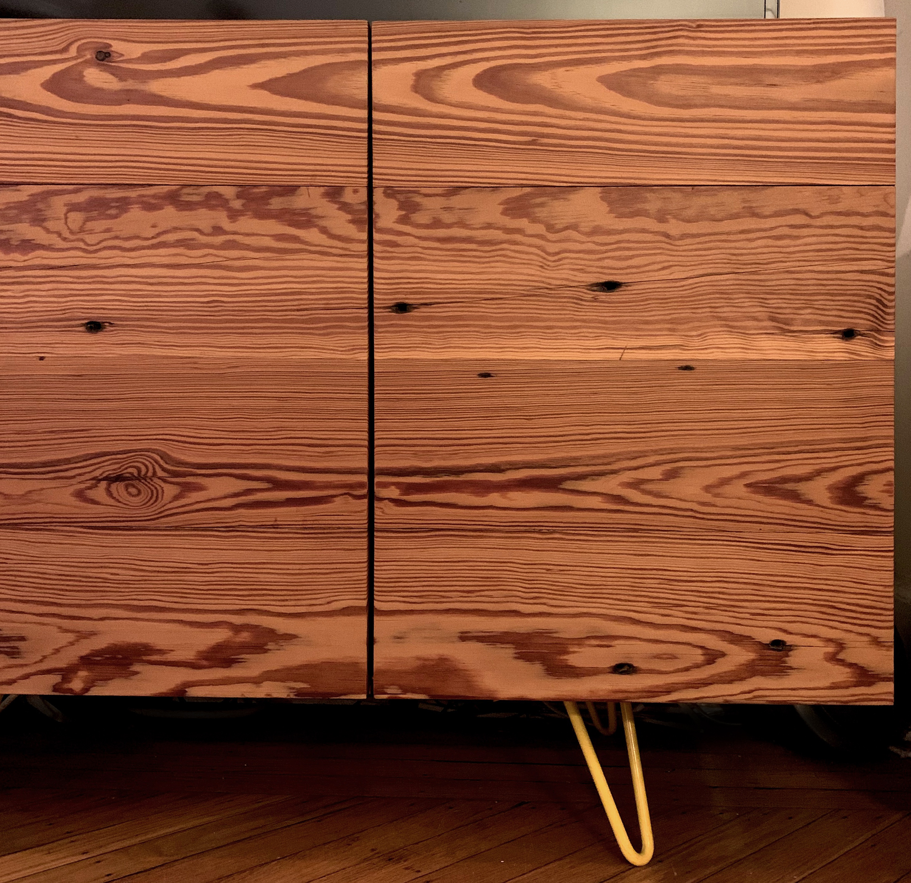
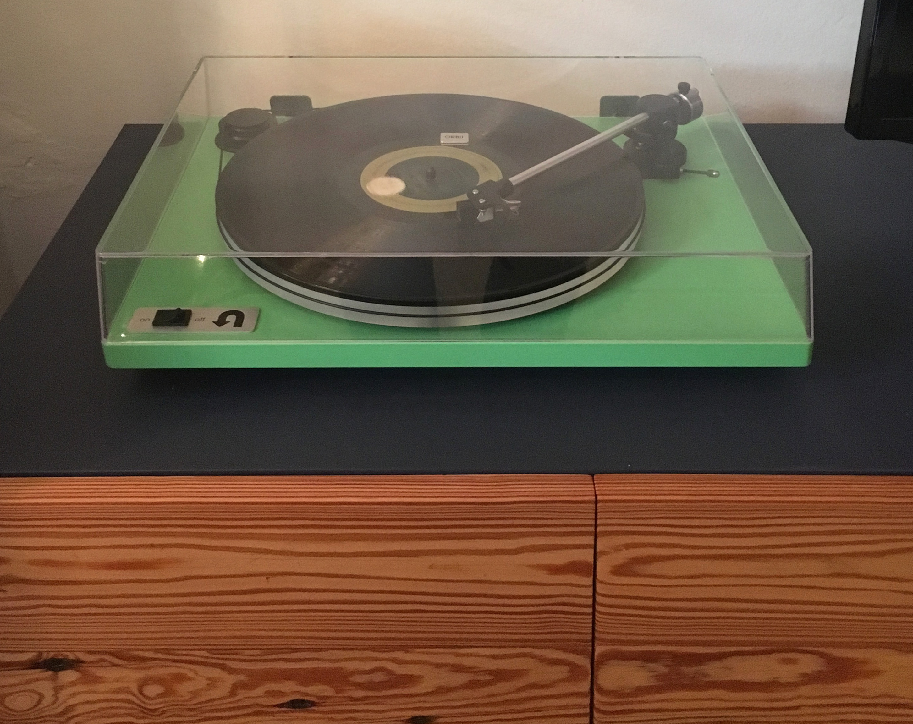
Below is a media console and the door fronts are made from pine flooring from a Brooklyn warehouse.
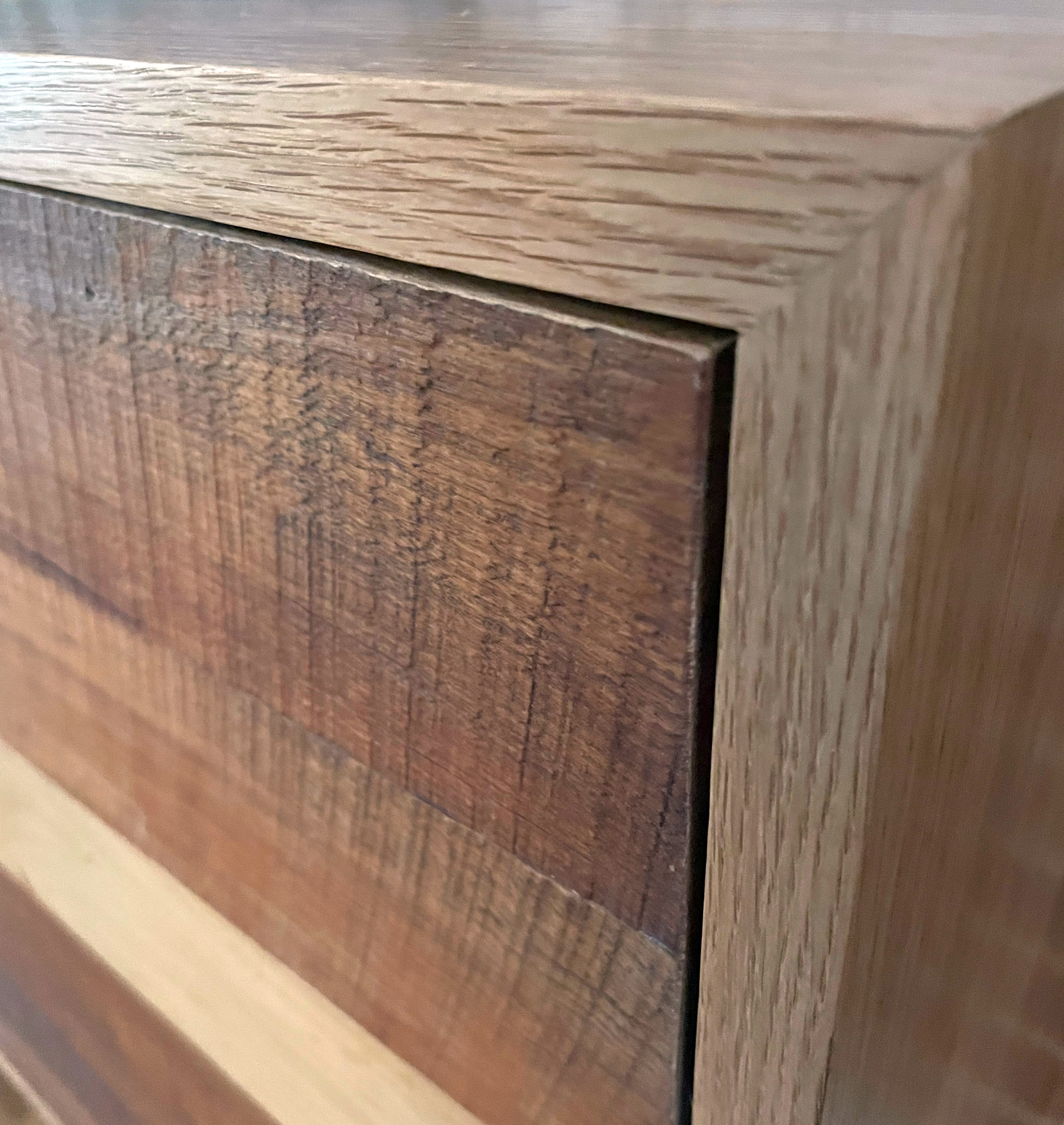
This is a storage unit in our entryway. The white pine cabinet body is mounted to the 19th Century brick wall with a French cleat, and the rough hewn cabinet/drawer faces were assembled from reclaimed tongue and groove hardwoods gathered from the demolition of other 19th Century Philadelphia homes. After being oull-less for over a year, I just got the drawer pulls off of Etsy.


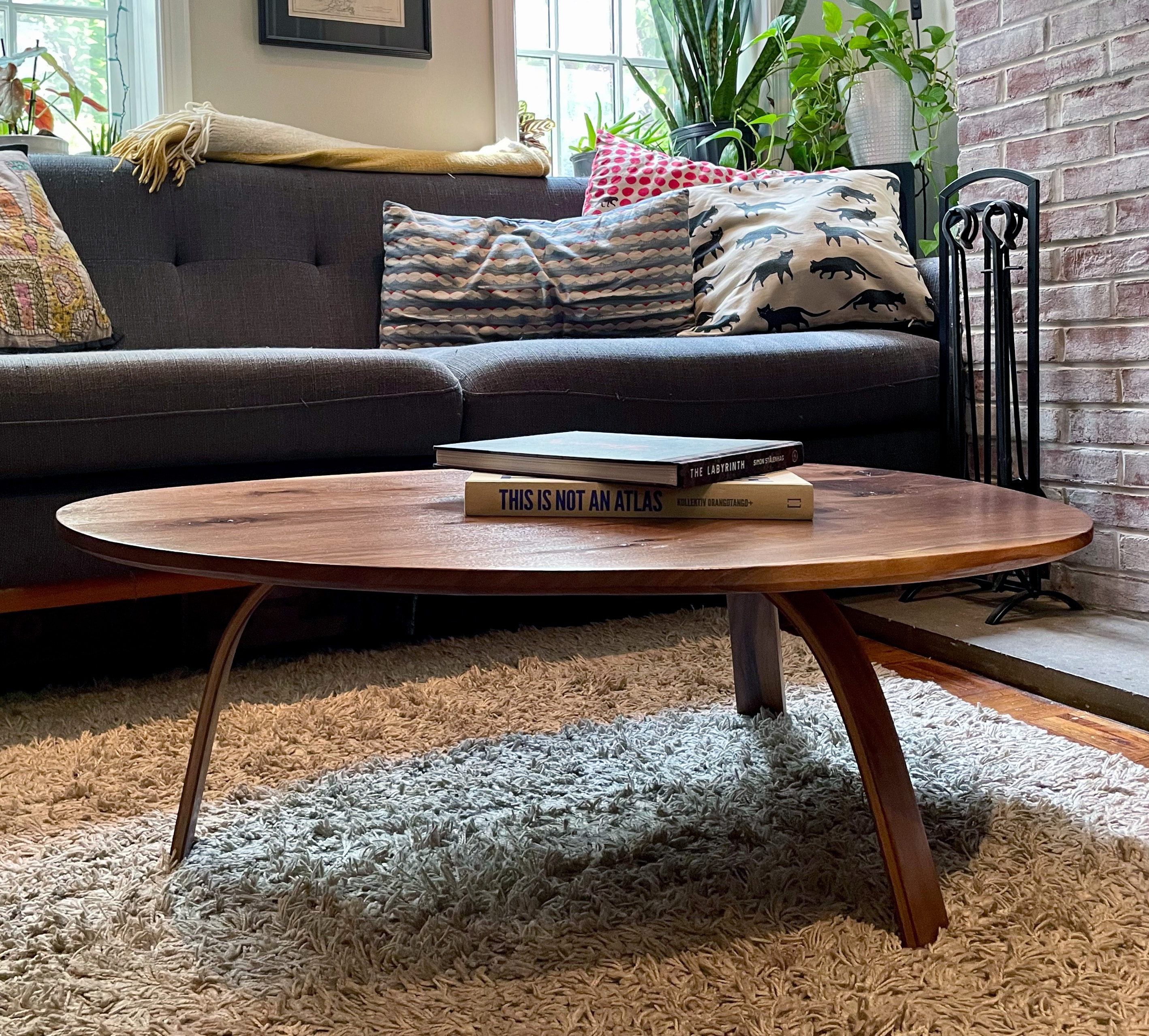
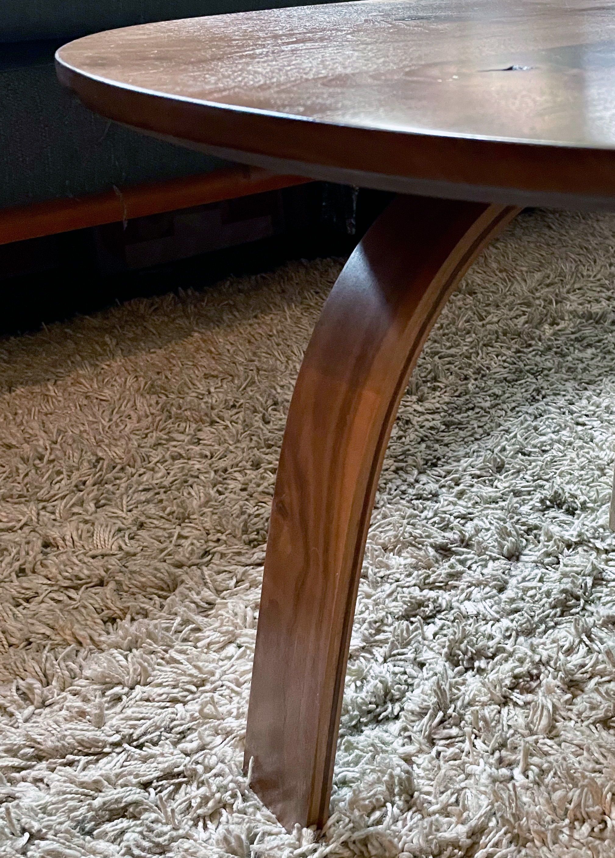
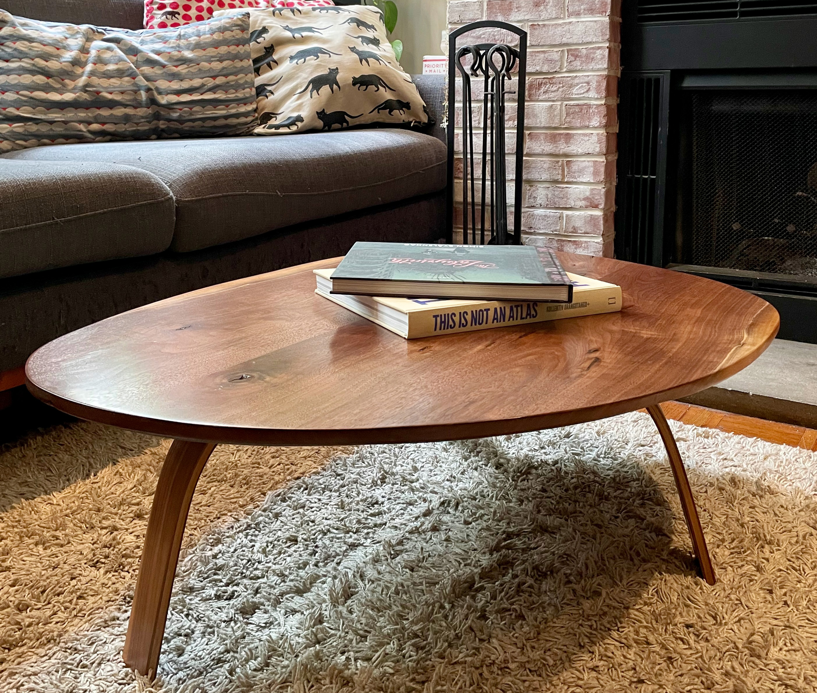
This is a Walnut coffee table. The tabletop is reclaimed from I-don't-know-where and the legs are laminated 1/8" thick pieces that I bent around a form and glued together. This was an experiment that, while not necessarily the strongest design, taught me how to 'bend wood.' N. wanted a Noguchi-esque coffee table and I think this is close.
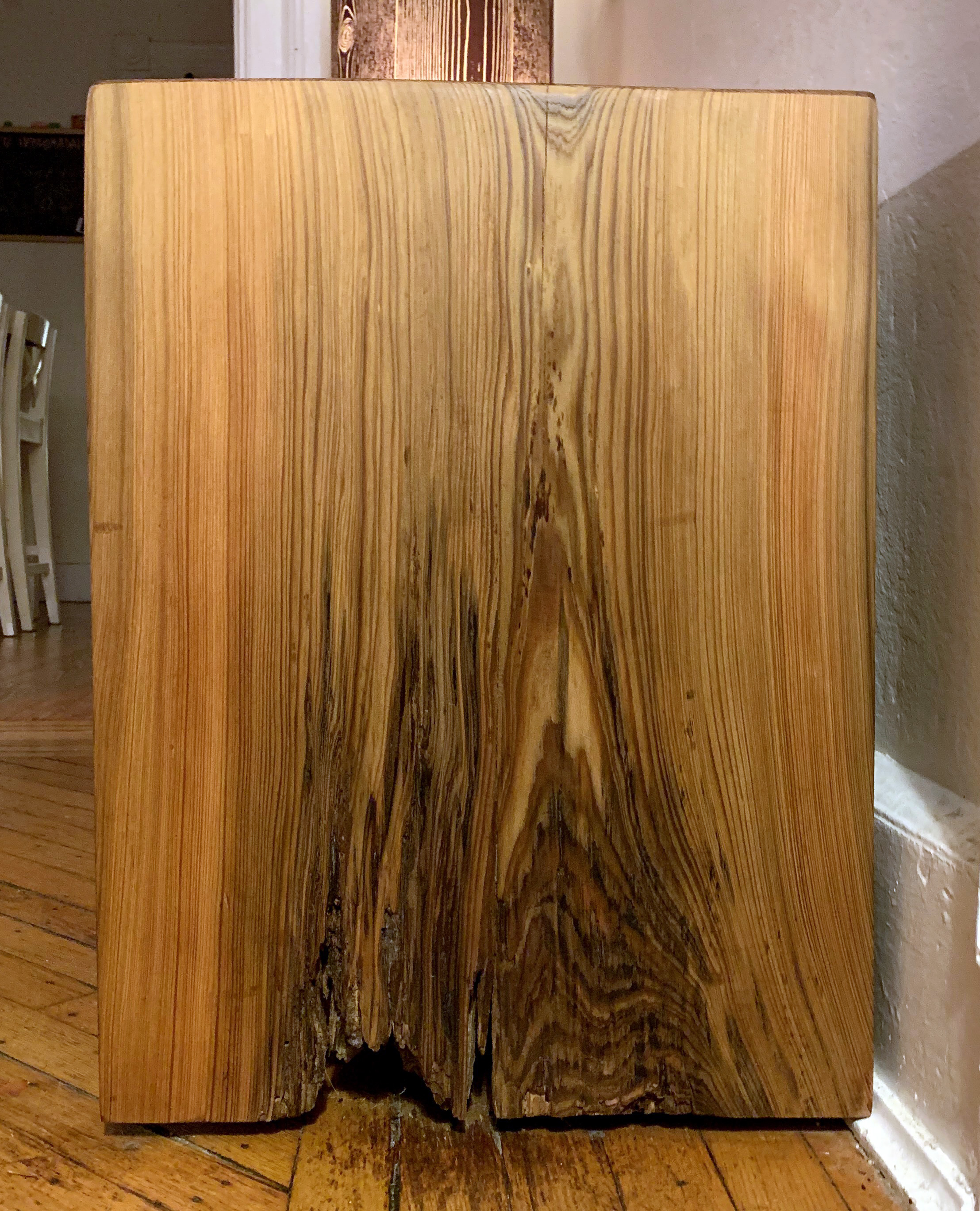
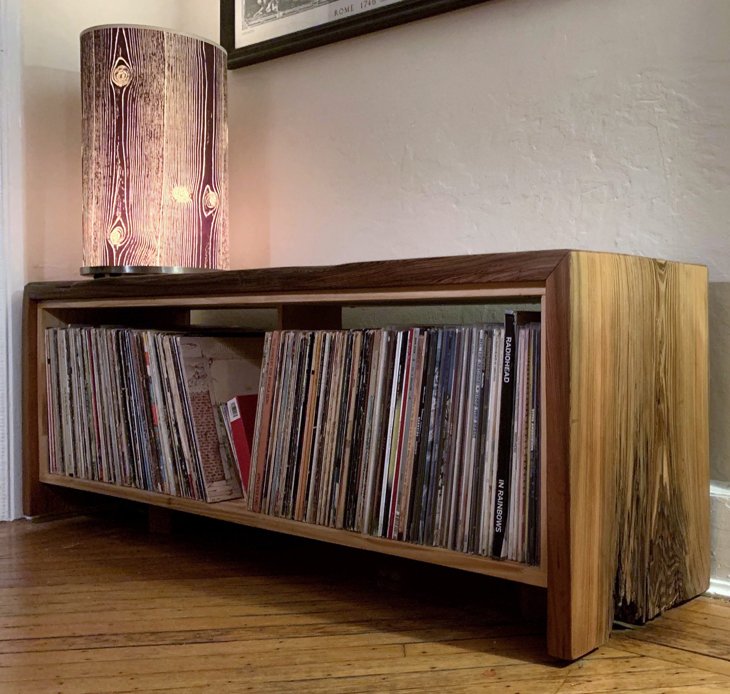
This is a rolling bench and record storage unit made with White Pine and a thick hunk of sinker cypress dredged up from somewhere in the swamps of Louisiana. Or so I was told. Anyway, I have way too many records for this wee bench now.
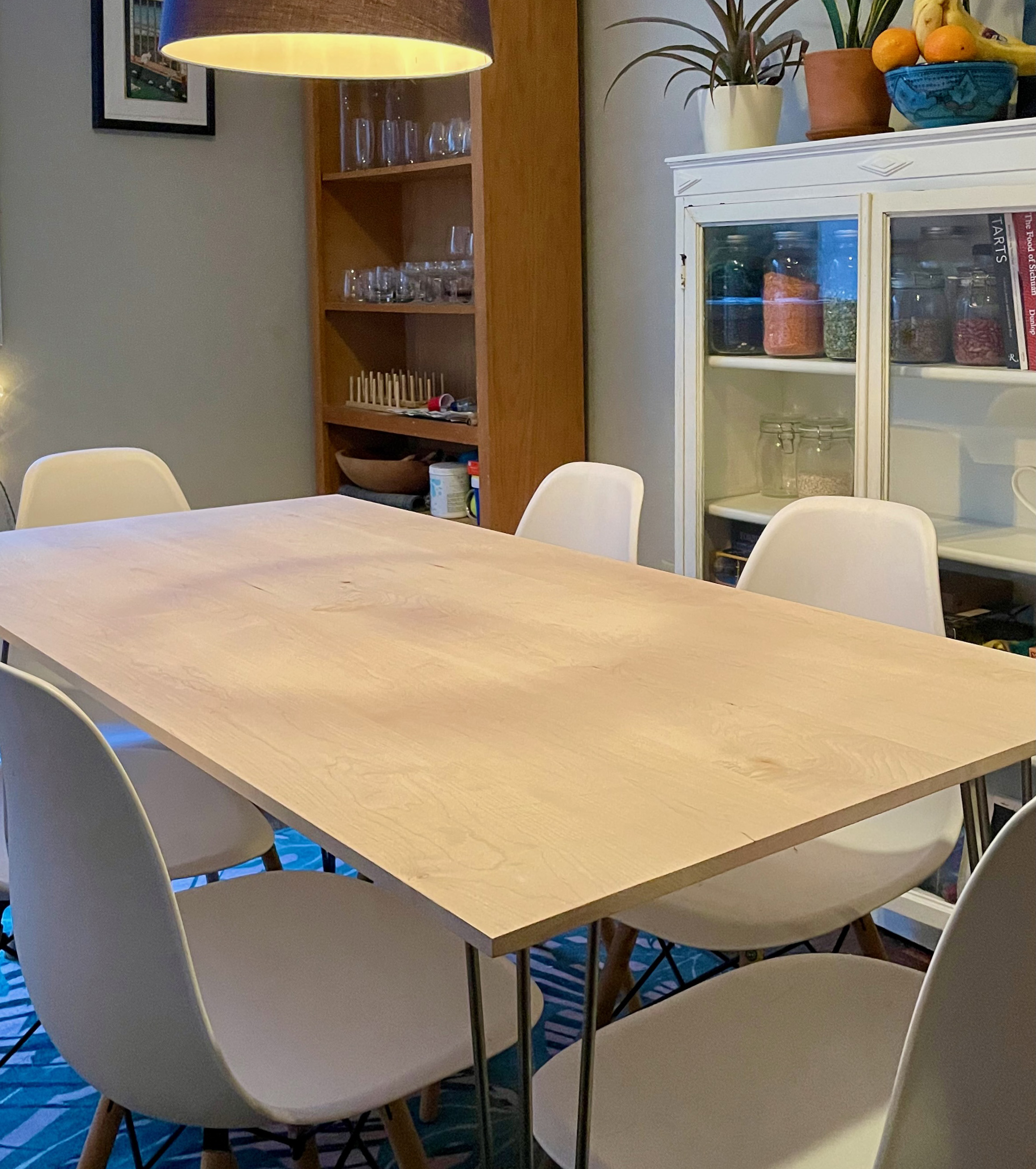
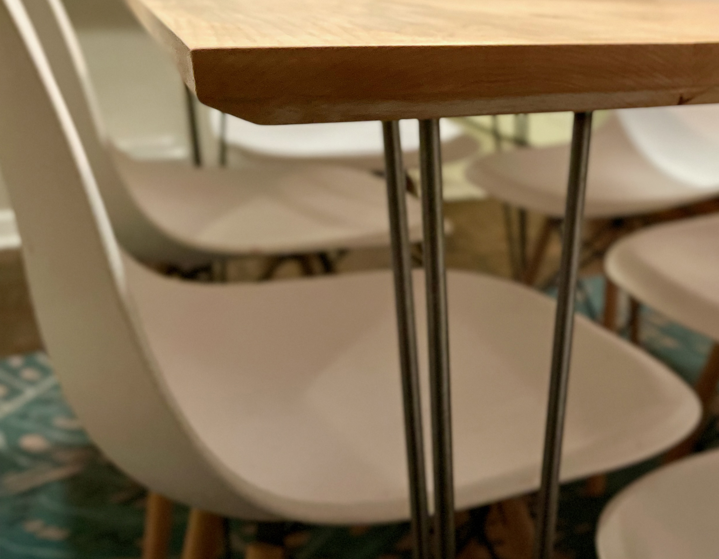
Finally, this is a hard maple kitchen table. There's nothing really interesting about this table other than that it gave me a chance to use a hand router for the first time on the edge detail and I did the glue-up in our house and not at a woodshop. Eventually I'll get around to painting the legs and finishing the inlays on to cover cracks and knots in the maple. So, for now: a table in-use-but-also-in-progress.
Recently, I was trying to write a paper about logistical failure and I found myself wrestling with a pretty bad case of writer's block. At the same time, I was lamenting the fact that I hadn't really drawn or made anything in years. In response to both issues, I decided to spend a little time each morning drawing, just to focus my mind and allow ideas to come to the surface. The end result was a few ink drawings of supply chain failures. These are still works in progress, but I'm going to post them anyway, as they really helped kickstart my writing, and that makes me happy.

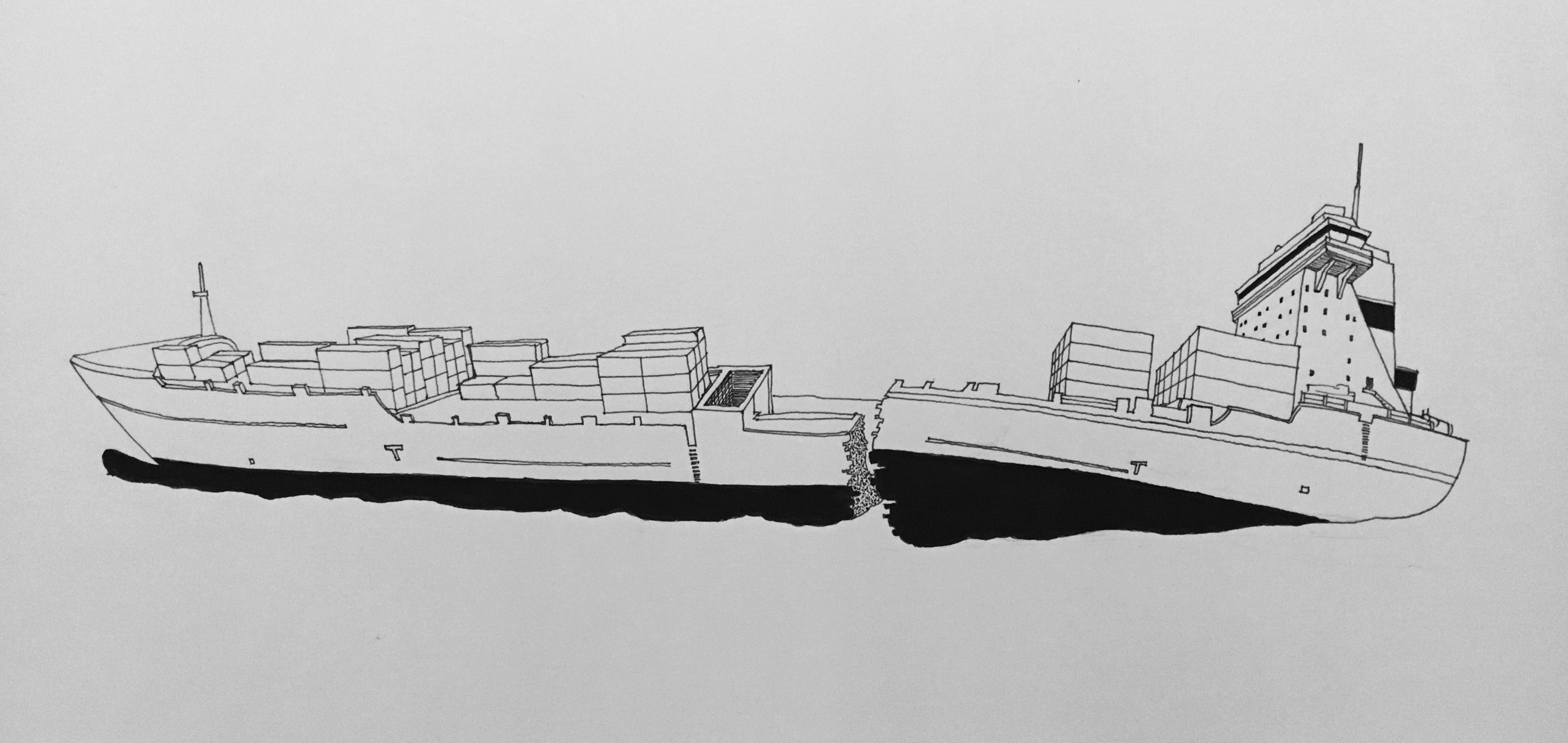
One interesting thing to come from beginning this drawing series is that I have started to dream up a collaborative, public-facing project to build with future students: a book and website that together make visually and politically clear the environments and technologies that are enrolled in the work of moving bodies and commodities around the world. As we interact with many of these systems, workers, and spaces every day, a project like this can help to map the infrastructures and environments that remain hidden in plain sight. Part edited scholarly volume, part atlas, part illustrated book, and part website, a project like this offers ample space for collaboration with students and faculty from across the campus community--from computer science to graphic design to environmental studies. I could easily imagine this project a means for students to develop their own public-facing projects. We'll see.
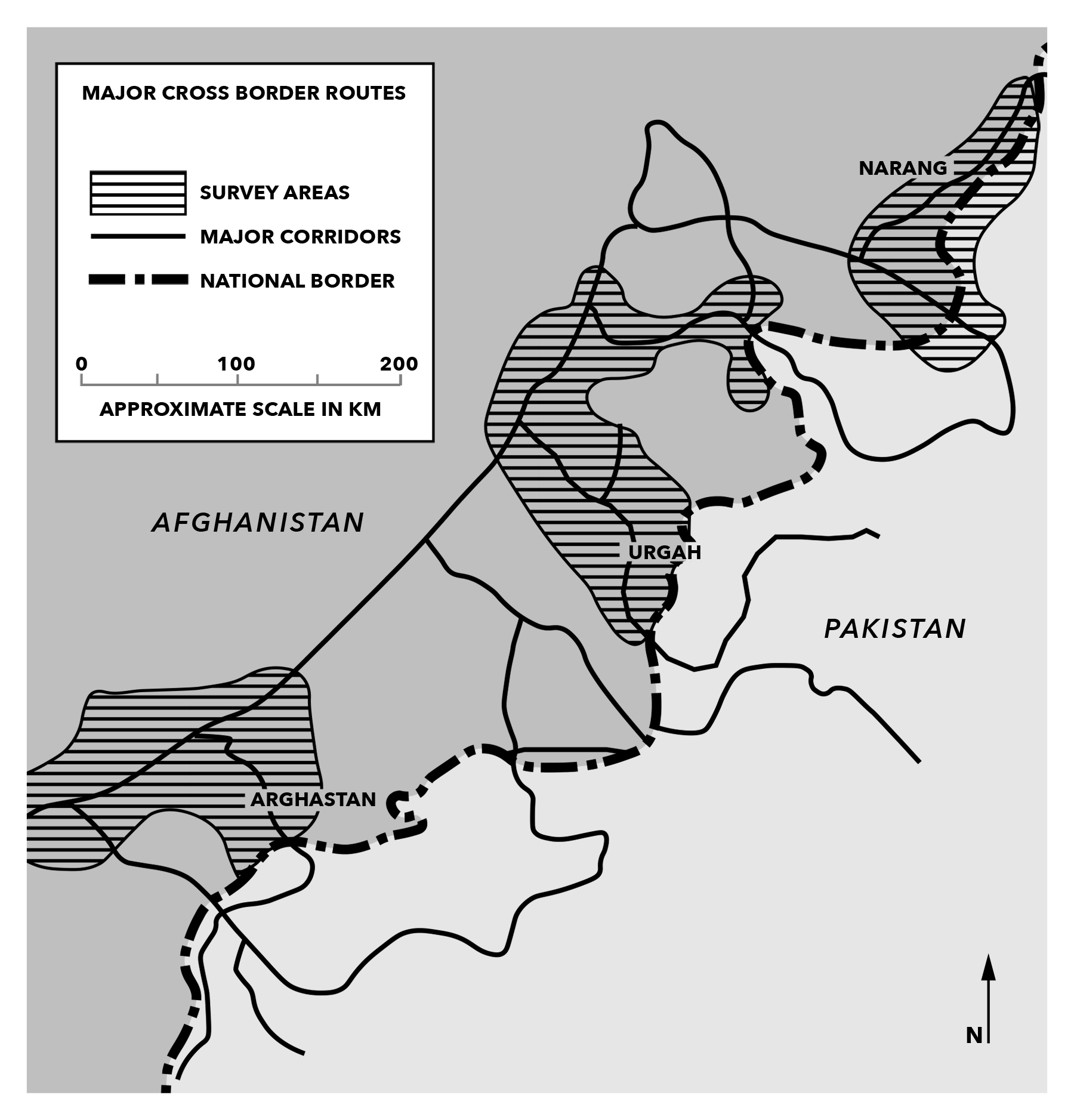
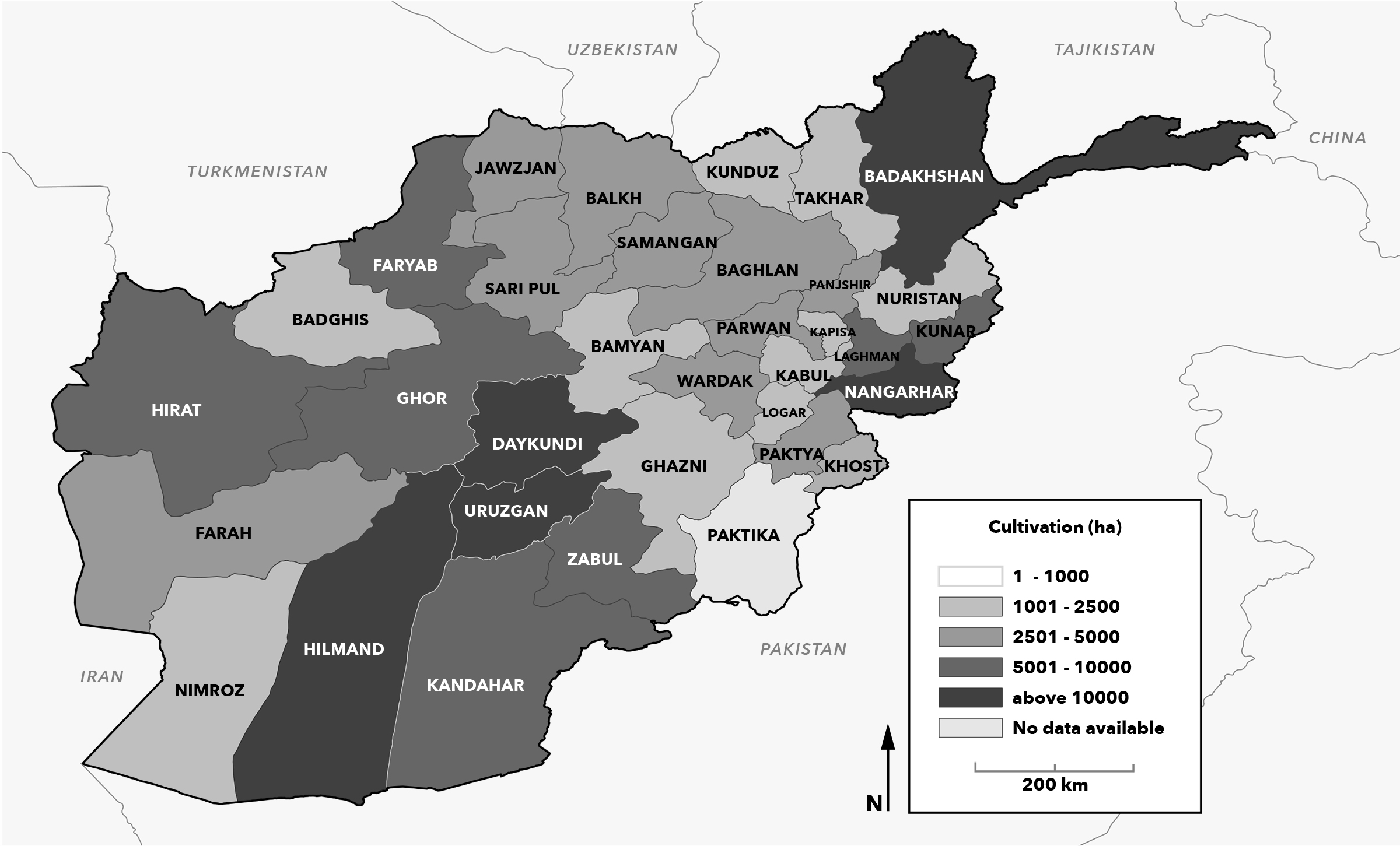
I put together a few maps for my good friend Wes Attewell's excellent new book,
The Quiet Violence of Empire: How USAID Waged Counterinsurgency in Afghanistan. Some of the maps were recreations of archival documents, some were made from AID data.
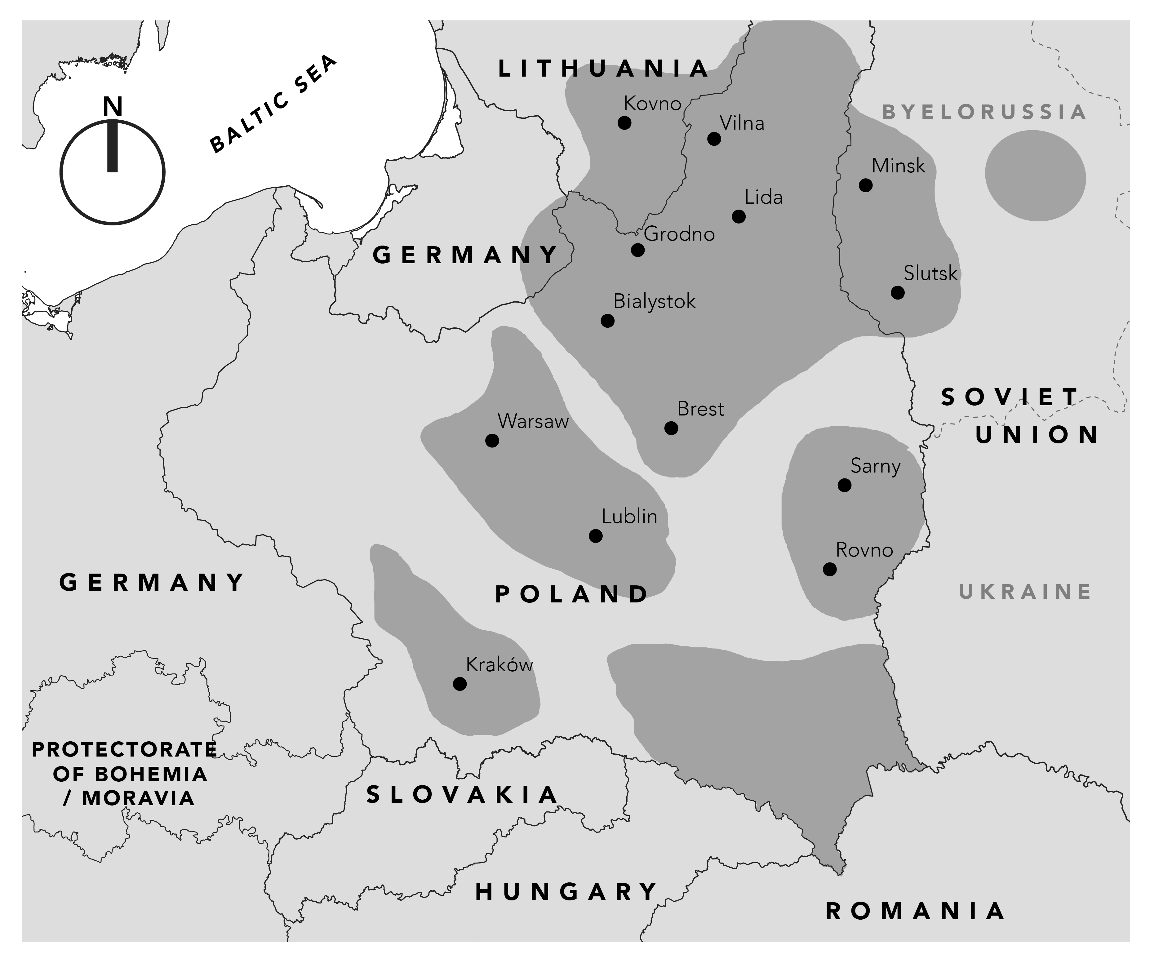
A map of a very specific month in late 1939 for my departmental colleague (and all-around excellent person) David Rosen's book
Jewish Child Soldiers in the Bloodlands of Europe. It was surprisingly difficult to ascertain where the recognized borders were for this map, as they were in constant motion.
A few years ago I took night courses at Pratt in order to learn to use digital mapping tools. For my
Introduction to QGIS course, I began a project that examines the historical afterlives of the HOLC redline maps of the late 1930s. In order to do that project, which would look at the relationship between contemporary policing data and the historic red-lined communities, I needed to map those districts onto a contemporary streetgrid. On the right below is my first attempt at this, next to the original.